Badland Basin and South Viewpoint


When you drive fifteen kilometers west of Drumheller on the
newly paved #9 highway, you come to a viewpoint
at the south end of Horseshoe Canyon.

The following 4 photographs were taken on a
June morning in 2003.

badlands 
in morning HC-bad1b (95 kb)

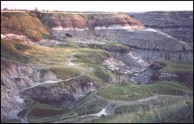
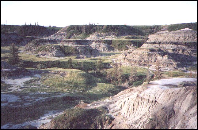
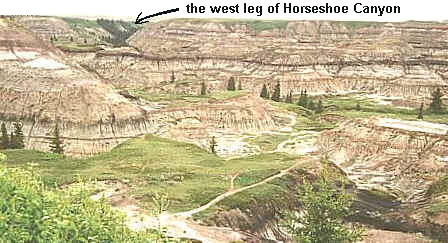
This photograph was taken just after sunrise.
This is when you can sense a unique
atmosphere in the badlands. (95 kb)

badlands 
in morning  (89 kb)

The early morning light helps
to reveal the gentle beauty
of the badlands. (89 kb)

badlands 
in morning (91 kb)

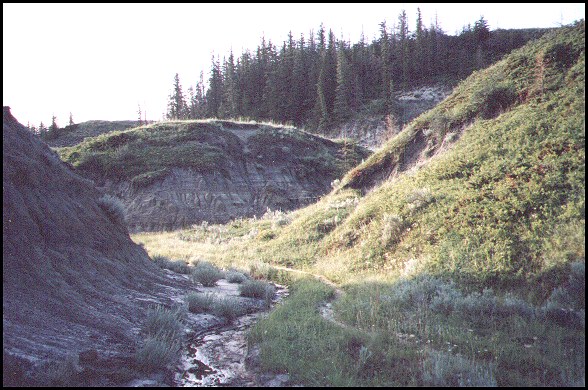
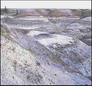
If you try to hike from the south viewpoint to the east leg of Horseshoe canyon, there is a good chance you will try this route. It has an inviting trail that others have used. (91 kb)

badlands 
in morning (88 kb)

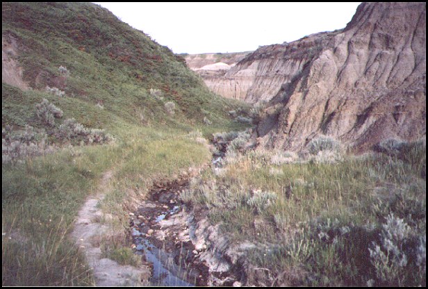
But our hike quickly comes to a stop when we come to the end of a coulee. So, here we are enjoying a pleasant early morning hike back. To get to the east leg of the canyon from the south viewpoint, you must detour further north before going east. (88 kb)

people on the South Viewpoint (104 kb)


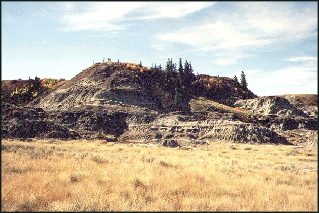
This shows people standing on the
South Viewpoint. The photograph was taken in a dry year, maybe 1997. (104 kb)

snow on the badlands 
at Horseshoe Canyon (65 kb)


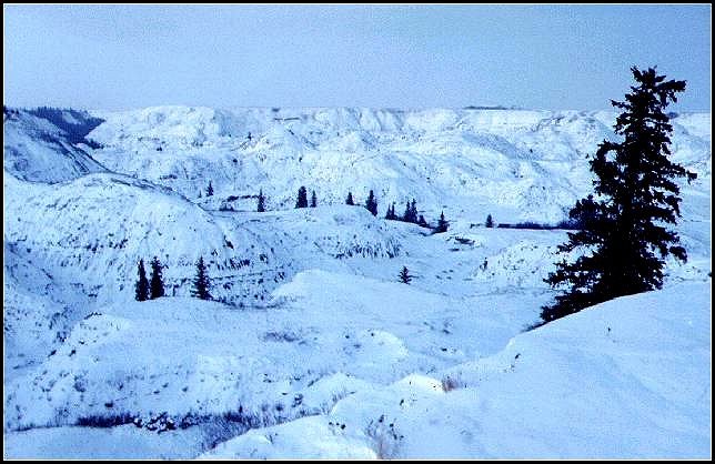
This is a winter photograph
of the canyon, taken from the
South Viewpoint. (65 kb)


people wondering in the badlands 
near the South Viewpoint (188 kb)


From the south viewpoint, you can look down
and see people wondering through the badlands. (188 kb)
While growing up in Drumheller,
I never heard any reports of any poisonous
snakes anywhere in the area.


a busy day at the South Viewpoint (9 kb)


The parking lot and access road has changed. Instead of gravel, we have first class pavement.
Even back in about 2003, the parking lot could get full on a busy day.
Many people stop to see the view, and to hike down into the canyon.


helicopter at 
the South Viewpoint (9 kb)

For the past five years or so, a helicopter has been
at the south viewpoint, so people can pay
to tour the canyon from above.


the badland basin (34 kb)

This photo is looking north from the South Viewpoint, not far from the highway.
This was a wet year, so the grass is green rather than brown.


The photo below was taken late in the day.


badlands late in the day (30 kb)

This scene is at the east end of the badland basin.


back to Horseshoe Canyon map and links

to map with links


Tour of the Entire Canyon

Eastern Tour: from South Viewpoint to East Viewpoint.

SOUTH VIEWPOINT AND BADLAND BASIN | EAST LEG | EAST VIEWPOINT |

Western Tour: from the West Canyon to the North Valley.

WEST LEG | WEST VIEWPOINT | KNEEHILLS CREEK VALLEY


back to westerntour.com Drumheller thumbnail photo gallery.


Posted since September 28, 1998;
was at geocities.com until Sept. 30, 2009 when it totalled out at 1340.
That total is included in the following hits: