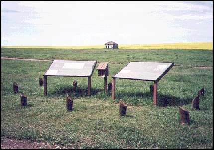
These two signs explain about Fort Pitt.
This photo was taken looking north-west, away from the river. This shows a building in the distance which was built by a local farmer and is supposed to be a rough replica of a Fort Pitt building.
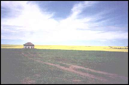
The yellow hill in the background, which is covered with canola, is where 250 Cree warriors appeared in April of 1885 with the intention of attacking Fort Pitt. (After the civilians gave themselves up and the police were allowed to escape, Fort Pitt was looted and then burned.)
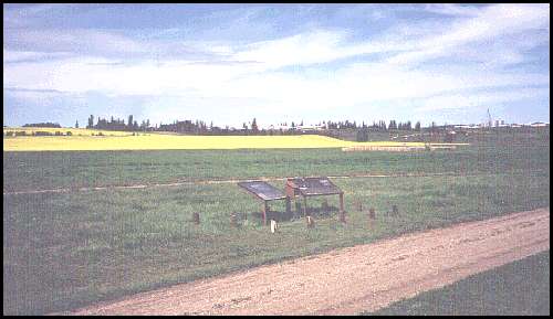
When looking north at the Fort Pitt site, you see that a modern farm is located nearby. The meeting where they signed Treaty 6 took place on the hill, probably off to the left of this photo.
The 1885 sketches and photographs that I have seen of Fort Pitt were created from the top of the hill that is in the distance in these photos. They show the river in the background. However, I did not take a photo from that location because there is now a lot of thick bush and trees which have grown up, so the river cannot be seen.
The Fort Pitt historical site can be accessed by a gravel road. Since it is not a major site, and it is located in an out of the way place, the road signs are not the greatest. It is best to use a map so you can be certain of finding it.
|
|
First posted at Geocities: November 1, 1999, then transfered to this file on July 4, 2002.
©2002 Brian M. Brown All rights reserved. All photographs are marked with almost invisible identifiers.