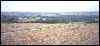
Frenchman Butte 1999 photos and notes:

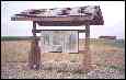
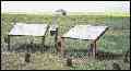
sign - path up - Cree pit (total: 62 kb)
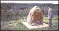
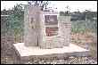
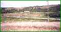
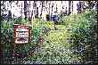
cairn (22 kb)
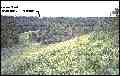
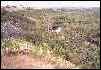
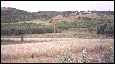
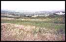
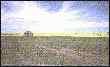
view (28 kb)
Native Tourist Attractionsthumbnail photos and notes |
|
Frenchman Butte 1999 photos and notes: |
||||
|
sign - path up - Cree pit (total: 62 kb) |
cairn (22 kb) |
view (28 kb) |
||
When I was at Frenchman Butte in 1999, I failed to take photographs of their museum.
Try the
Frenchman Butte museum website. I found it to be informative and interesting.
|
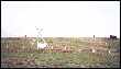
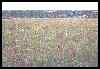
Cut Knife Hill 2000 photos and notes: |
||||
|
info sign - in Historical centre - Big Bear cairn (total: 35 kb) |
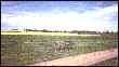
the creek - view from top (total: 45 kb) |
|||
|
A panoramic view of Cut Knife Hill |
view near top - horse and wagon area |
|||
|
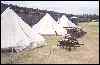
Fort Battleford 2000 photos and notes: |
||||
|
the fort (notes on museum) - supply tents - view of town (total: 42 kb) |
||||
|
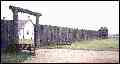
Fort Pitt 1999 photos and notes: |
||||
|
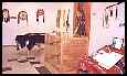
info signs - fort area - signs and farm (total: 60 kb) |
||||
First posted at Geocities: July 10, 2000, then transfered here on July 4, 2002. Visitors since September 20, 2003
.
©2002 Brian M. Brown All rights reserved. All photographs are marked with almost invisible identifiers.