view from top and creek at bottom


View from the Top and the Creek at the Bottom


Cutknife Hill creek  -  24 kb


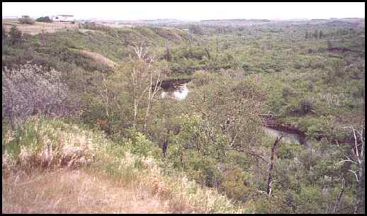
The creek at the bottom of Cut Knife Hill which the soldiers had to retreat through.


view looking north from top of Cut Knife Hill - 21 kb


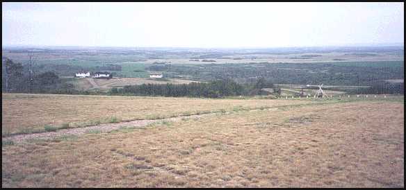
This is the view the Natives had from the top of Cut Knife Hill. This is looking north.


click on this map
 to return to westerntour - 18 kb

to Native thumb nail gallery.

to Metis thumb nail gallery.

to a little Western Canadian history at http://www.alittlehistory.com
                (includes factual stories about the 1885 Northwest Rebellion)


First posted at Geocities: July 12, 2000, then transfered to this file on July 4, 2002.
©2002 Brian M. Brown All rights reserved.   All photographs are marked with almost invisible identifiers.